About Us
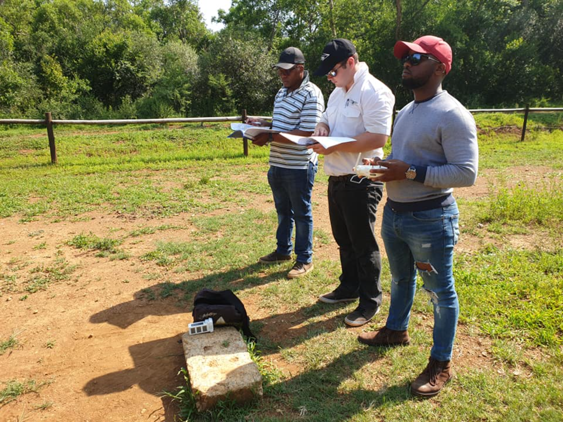
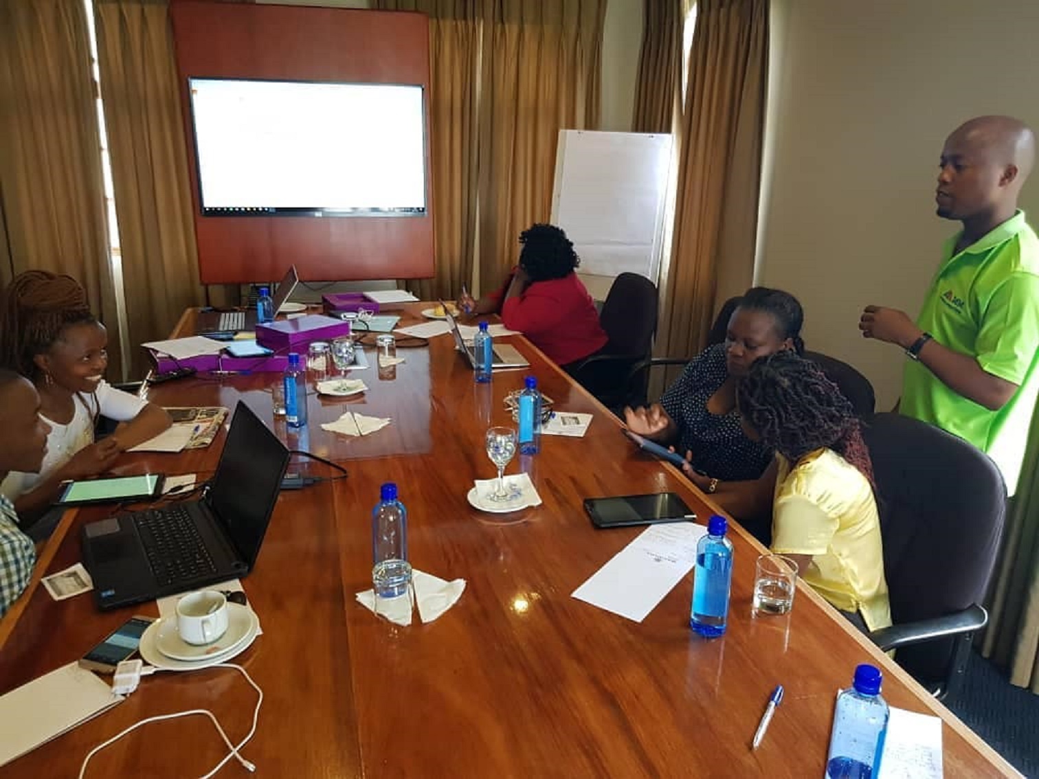
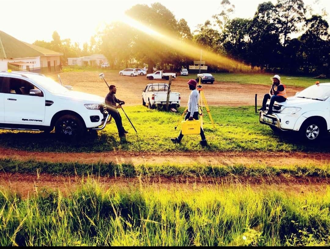
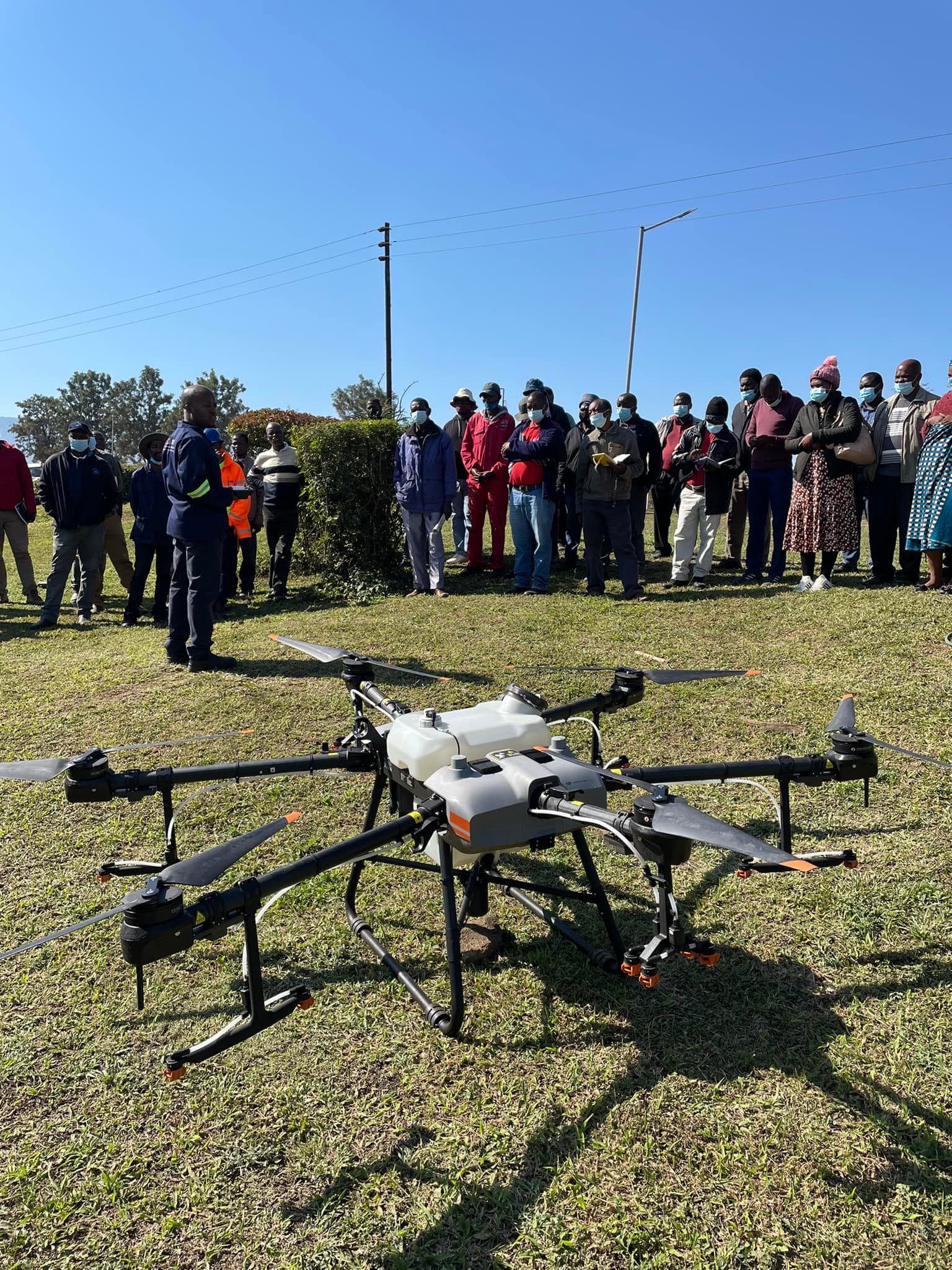
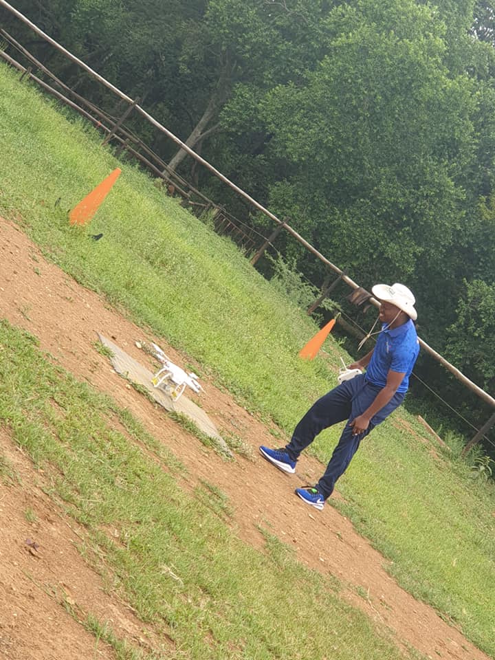
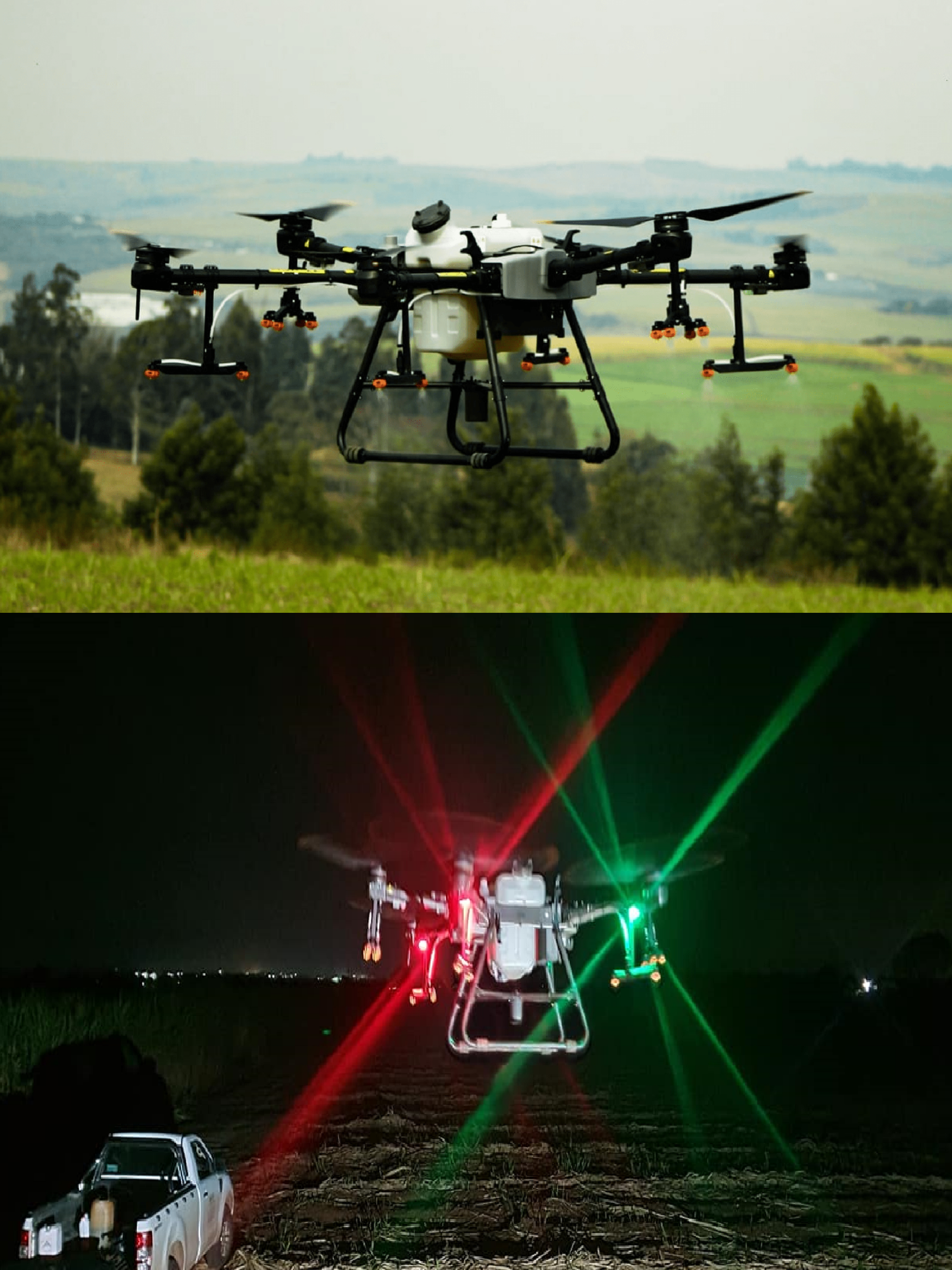
At MM Geomatics, we are dedicated to providing our clients with the very best and reliable solutions to meet their needs and expectations. With a team of highly skilled professionals in drone piloting, GIS, IT, geomatics surveying, and environmental consulting, we are equipped to handle any project, big or small.
Mission Statement
- Our mission is to provide the highest quality service to our clients through the intelligent application of technology and expert advice. We aspire to be the most successful and innovative Surveys, GIS, IT, Geo-informatics and Environmental consulting company in the industry..
Vision
- Our focus is on producing high-quality geo-information and visualizing it in maps or other appropriate platforms using state-of-the-art technology and an in-depth knowledge of the production process. We are committed to delivering the GIS, surveying, and mapping products and services that fulfill the requirements of our customers, today and tomorrow.
- Quality is at the forefront of everything we do. Our personnel are dedicated to providing quality products and services through Total Quality Management (TQM) and continuously monitoring performance improvements. We understand the importance of meeting and exceeding customer expectations, and that is why we strive to understand the current and future needs of our clients.
