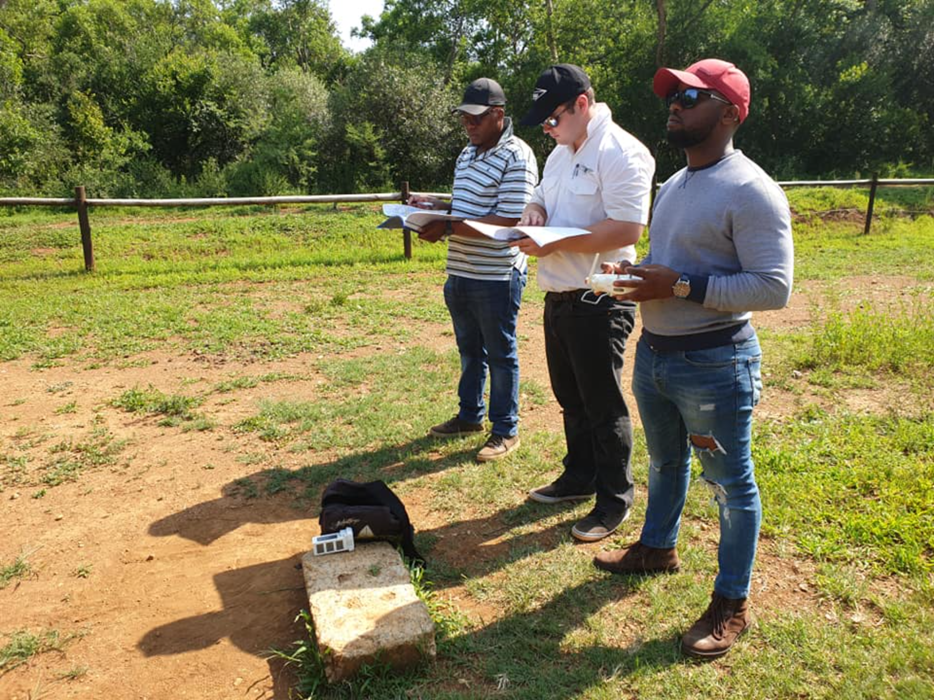
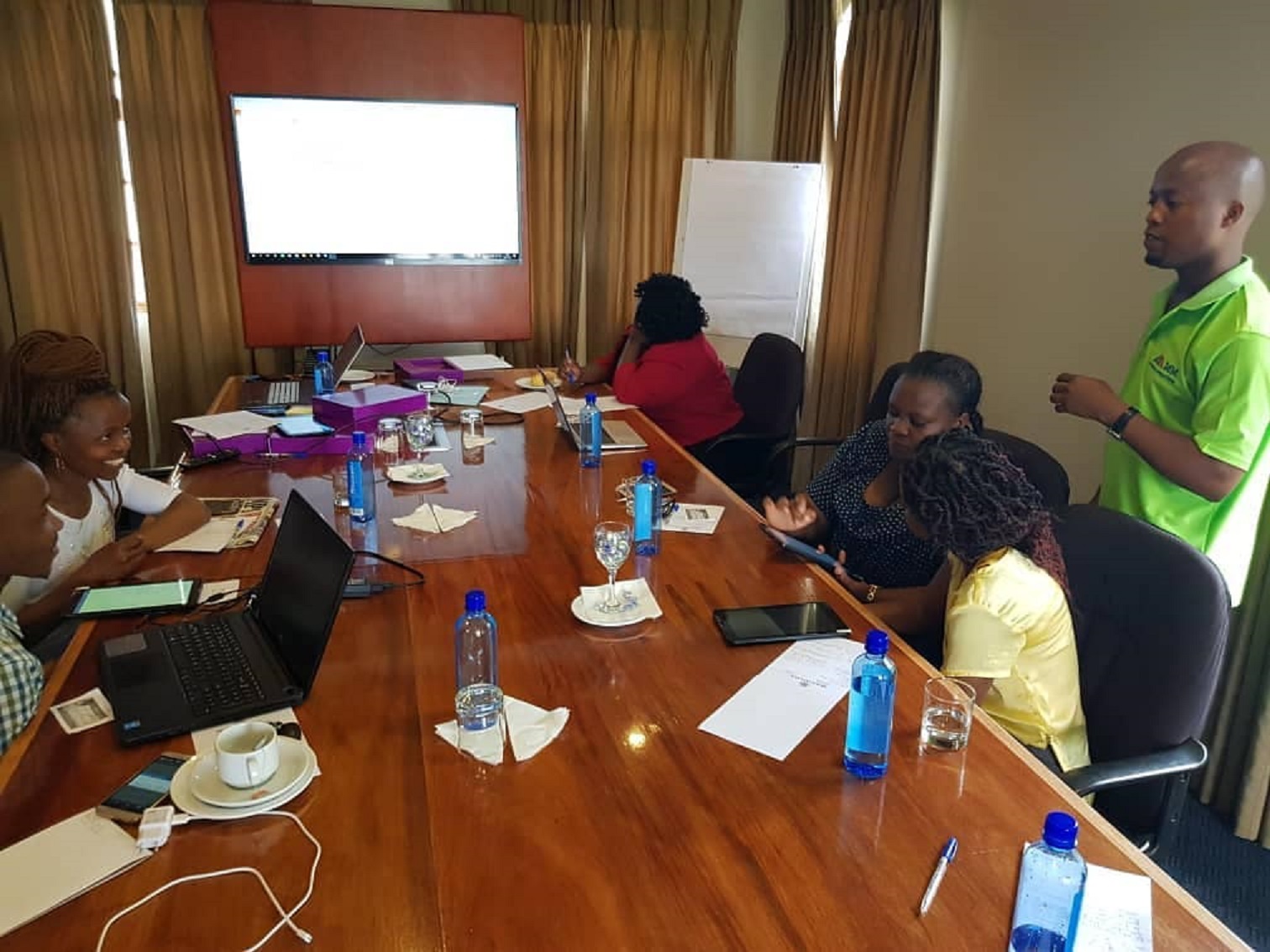
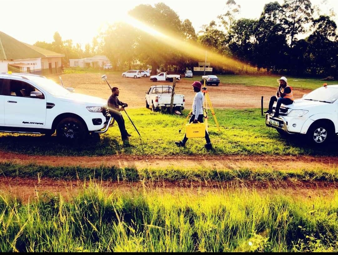
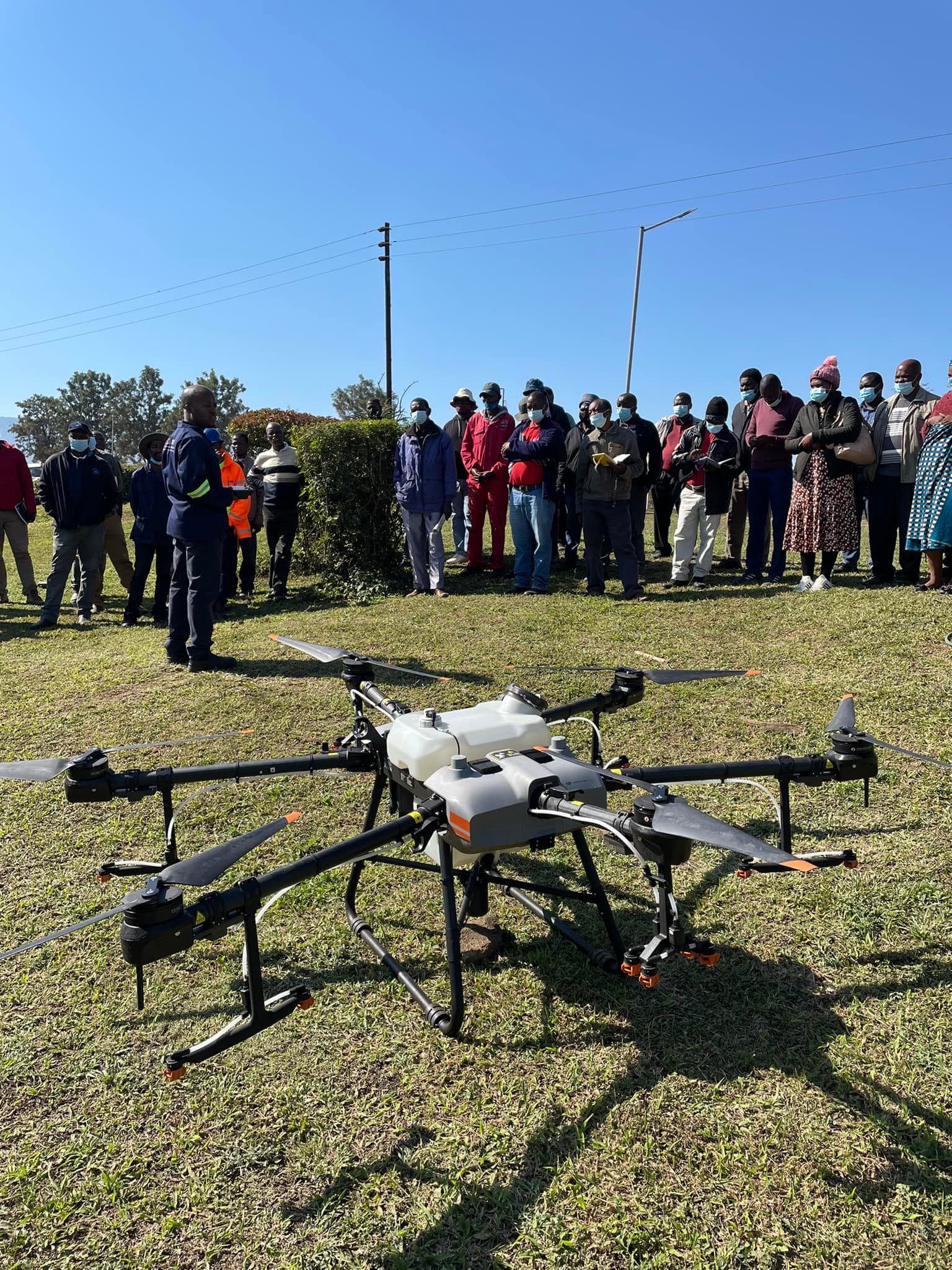
About Us

About images

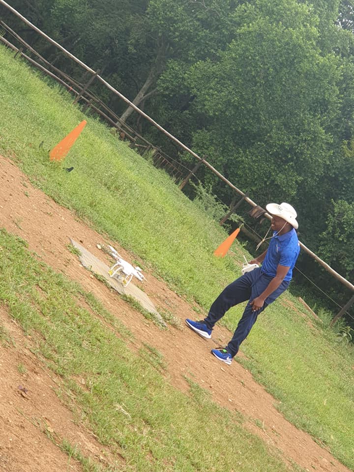
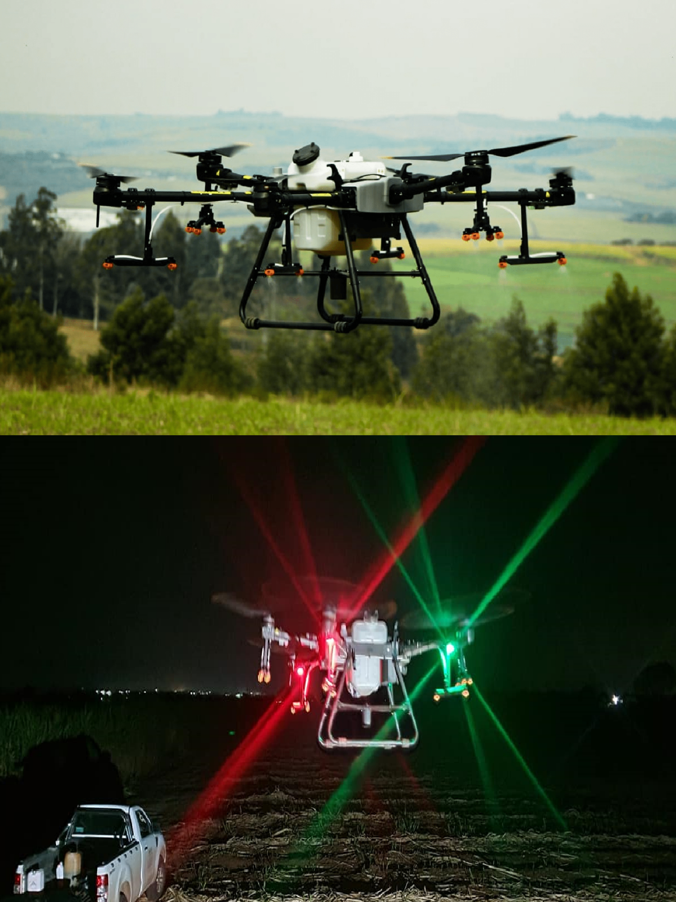
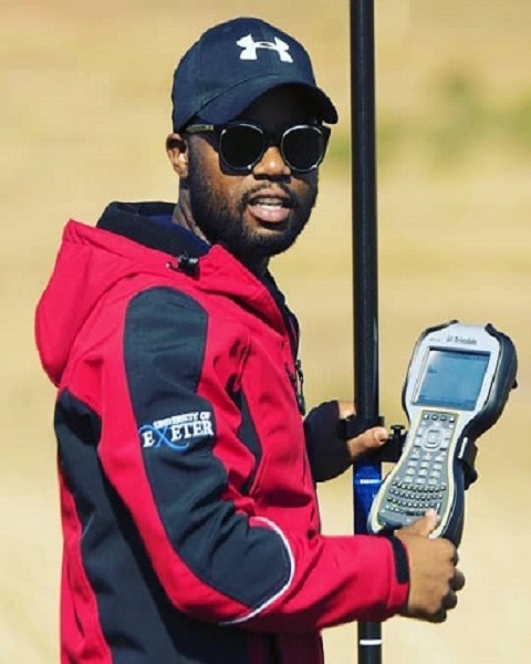
At MM Geomatics, we are dedicated to providing our clients with the very best and reliable solutions to meet their needs and expectations. With a team of highly skilled professionals in drone piloting, GIS, IT, geomatics surveying, and environmental consulting, we are equipped to handle any project, big or small.

Mission Statement

  • Our mission is to provide the highest quality service to our clients through the intelligent application of technology and expert advice. We aspire to be the most successful and innovative Surveys, GIS, IT, Geo-informatics and Environmental consulting company in the industry..

Vision

  • Our focus is on producing high-quality geo-information and visualizing it in maps or other appropriate platforms using state-of-the-art technology and an in-depth knowledge of the production process. We are committed to delivering the GIS, surveying, and mapping products and services that fulfill the requirements of our customers, today and tomorrow.
  • Quality Aspects

    • Quality is at the forefront of everything we do. Our personnel are dedicated to providing quality products and services through Total Quality Management (TQM) and continuously monitoring performance improvements. We understand the importance of meeting and exceeding customer expectations, and that is why we strive to understand the current and future needs of our clients.

Our Services

"Mapping Today,With Tomorrows Technology"

Land Surveying

The technique, profession, and science of determining the terrestrial or three-dimensional positions of points and the distances and angles between them

  • Cadastral surveys
  • Cadastral surveys
  • ERF and Farm subdivisions
  • Consolidations
  • Hydrographical, Aerial and Engineering surveys
  • GPS, Topographical and contour surveys
  • Beacon location and relocation

land administration

The way in which the rules of land tenure are applied and made operational

  • Township establishment
  • Subdivision of land
  • Land tenure reform
  • Land redistribution
  • Land restitution
  • Land Use administration and mapping

geographic information systems

The systems designed to capture, store, manipulate, analyze,manage, and present spatial or geographic data.

  • GIS setup and customization
  • GIS software supply
  • Spatial analysis
  • 3D Modelling and Analysis
  • Remote sensing
  • Socio economic and baseline surveys
  • GIS Data Collection , Management and Analysis
  • Environmental Impact Assessment
  • Photogrammetry, Cartography and Mapping

information technology

The application of computers to store, retrieve, transmit and manipulate data, or information, often in the context of an organization.

  • IT infrastructure architecture design and implementation
  • Network design and maintenance
  • Database development and management
  • Computer End-user Support
  • Website development , Hosting and maintenance
  • Application development and maintenance
  • Information Systems Analysis and design
  • Business Intelligence Services

agricultural drone spraying

Agricultural drone spraying, also known as precision agriculture, is a modern farming technique that utilizes drones to spray crops with pesticides, fertilizers, and other essential nutrients.

  • Preparation
  • Mapping the Field
  • Flying the Drone
  • Monitoring the Spray
  • Data Collection
  • Cleaning and Maintenance

ariel solutions

The application of computers to store, retrieve, transmit and manipulate data, or information, often in the context of an organization.

  • Aerial Mapping/Surveys
  • Drone Mapping
  • Mining surveys
  • Aerial data capture
  • Industrial inspections

Gallery

AMAZING WORK FOR OUR CLIENTS

  • Drone Pilot Training

    One of our Drone Pilots during their Training Assessment

  • MM Geomatic Survey GIS Training

    GIS Specialist conducting an enumerators data collection training for one of our Clients

  • Surveying

    Team member conducting land surveying

  • Crop Angel Demo

    Demonstration of Agri-Technology Drone Spraying for Farmers

  • Ariel Drone Solution

    Surveyor Drone being prepared for take-off

  • Crop Angel

    Crop Spraying Drone under our Agri-Technology Division

Our Team

OUR PEOPLE ARE VERY UNITED FOR YOUR SUCCESS

Sizwe Mabuza

Founder & Director

GIS Specialist

Senzo Mabuza

Founder & Director

Land Surveyor

Contact With Us

SEND A MESSAGE TO US


premium bootstrap themes